


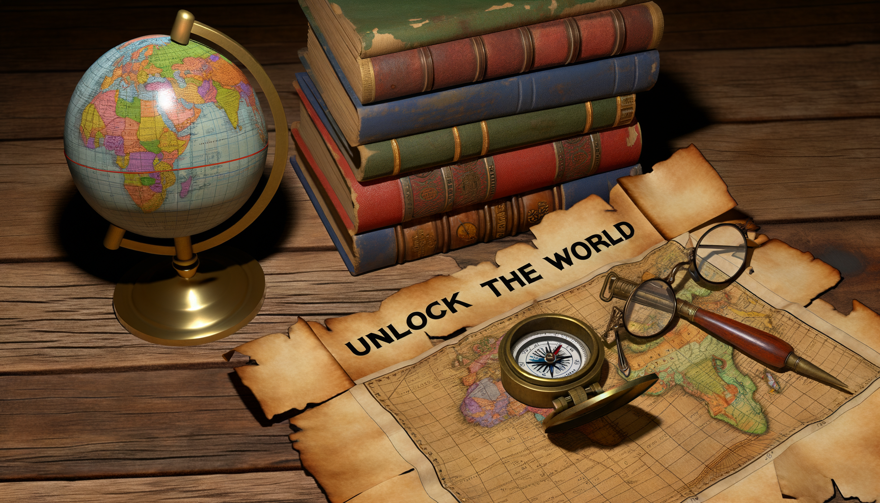
Decoding Maps: Your Guide to Understanding Basic Map Symbols and Components
Maps are incredible tools, windows into the world around us, allowing us to navigate, explore, and understand geographical relationships. However, for many beginners, a map can look like a complex puzzle filled with mysterious lines, symbols, and numbers.
Understanding the fundamental components of a map is the key to unlocking its power and transforming that initial confusion into confident comprehension. This guide is specifically designed for anyone who wants to move beyond just looking at a map to truly reading and interpreting it.
We will break down the essential elements you'll find on almost any map, from the title and legend to scale, direction indicators, and grid systems. By the end of this post, you will have a solid foundation for understanding what all those symbols and numbers mean and how to use them effectively, turning the seemingly complex into the comfortably familiar.
The Foundation: Essential Map Components
Every map, regardless of its purpose or style, relies on a common language of visual elements. These components work together to provide you with the necessary information to interpret the map's content accurately. Learning to identify and understand each one is your first crucial step.
Think of these elements as the grammar and vocabulary of map reading. Once you understand these basics, you can begin to read and comprehend any map, much like learning the alphabet and basic sentence structure allows you to read a book.
The Map Title: Knowing What You're Looking At
The map title is often the very first thing you should look for on any map. It serves as a concise label, telling you immediately what area the map covers and what type of information it presents.
Without a title, you might look at a network of lines and shapes without knowing if you are viewing a road map of a city, a topographic map of a wilderness area, or a geological map showing rock formations. The title provides that essential context.
Titles typically indicate the geographic area depicted, such as "Central Park, New York City" or "The State of Colorado". They may also specify the map's theme, like "Population Density of Europe" or "Average Annual Rainfall". Sometimes, the title might include a date or publisher, giving you additional context about the map's currency and origin.
The Key to Understanding: Decoding the Map Legend
Arguably the most critical component of any map is the legend, also known as the key. If the title tells you what the map is about, the legend tells you what everything *on* the map represents.
Maps use a variety of symbols, colors, lines, and patterns to represent real-world features. A river might be shown as a blue line, a road as a red line, a forest as a green area, and a school as a small building icon. The legend is your decoder ring for all of these visual elements.
It lists each symbol, line type, color, or pattern used on the map and provides a clear explanation of what it stands for. Ignoring the legend is like trying to read a foreign language without a dictionary; you might see the words, but you won't understand their meaning.
Point Symbols
Point symbols are used to represent specific locations on the map that are too small to be shown as areas at the given scale. These can include individual buildings, landmarks, points of interest, or cities.
For instance, a campground might be represented by a tent icon, a well by a small circle, or a church by a cross symbol. Cities are often shown as dots or stars, with larger symbols sometimes indicating larger populations.
Checking the legend will clarify exactly what each unique point symbol on the map signifies. Always refer back to the legend if you encounter an unfamiliar symbol.
Line Symbols
Line symbols are used to represent features that are linear in nature, extending across the landscape. These are commonly used for roads, rivers, trails, boundaries, power lines, and contour lines (which show elevation).
The appearance of the line often conveys additional information. A thick, solid red line might represent a major highway, while a thin, dashed blue line could indicate a perennial stream. Different border types might distinguish between national, state, or county lines.
The legend will provide a key for each distinct line type used, explaining its real-world equivalent. Pay close attention to line variations as they often hold important details.
Area Symbols
Area symbols are used to depict features that cover a significant expanse of land. These are typically shown using colors, patterns, or textures that fill a defined boundary on the map.
Examples include bodies of water (lakes, oceans often shown in blue), forests (often green), agricultural land, parks, urban areas, or different political regions. The color or pattern within the area represents the feature.
The legend will link each specific color or pattern to the type of area it represents on the map. Understanding area symbols helps you grasp the overall landscape composition and land use.
Measuring the World: Understanding Map Scale
Maps are scaled-down representations of reality. Map scale tells you the relationship between a distance on the map and the corresponding distance on the ground.
Understanding scale is absolutely essential for calculating distances, estimating travel times, and appreciating the size of the area the map covers. A map without a scale is simply an abstract drawing; the scale turns it into a useful tool for measurement.
There are typically three ways map scale is expressed, and a map may use one or more of these methods.
Ratio Scale
The ratio scale, also called a fractional scale, is expressed as a ratio or a fraction, such as 1:24,000 or 1/24,000. This means that one unit of distance on the map represents 24,000 of the *same* units of distance on the ground.
For example, in a 1:24,000 scale map, one inch on the map represents 24,000 inches on the ground. Similarly, one centimeter on the map represents 24,000 centimeters on the ground.
It is crucial to understand the implications of the numbers in a ratio scale. A map with a scale of 1:24,000 shows a smaller area in greater detail (a large-scale map) compared to a map with a scale of 1:1,000,000, which shows a much larger area with less detail (a small-scale map).
Bar Scale
A bar scale, also known as a graphic scale, is a visual representation of distance. It looks like a small ruler printed on the map, marked with distances such as miles, kilometers, or feet.
To use a bar scale, you simply measure a distance on the map using a ruler or even a piece of paper, then compare that length to the bar scale to determine the real-world distance. If the measured distance on the map matches the length of the bar scale segment labeled "1 Mile", then the distance on the ground is one mile.
Bar scales are particularly useful because they remain accurate even if the map is photocopied or resized, as the scale itself is resized along with the map. This is an advantage over ratio or verbal scales in such situations.
Verbal Scale
The verbal scale expresses the relationship between map distance and ground distance in words. It might read something like "One inch equals one mile" or "One centimeter represents ten kilometers".
This is perhaps the easiest scale to understand intuitively, as it directly states the conversion from map units to ground units. However, like the ratio scale, a verbal scale becomes inaccurate if the map is resized.
While less common on detailed topographic or nautical charts, verbal scales are often found on road maps or thematic maps for simplicity. Understanding any of these three types of scales allows you to effectively measure distances and plan journeys.
Putting Scale to Use
Let's imagine you have a map with a bar scale indicating that one segment represents 1 kilometer. If you measure the distance between your current location and your destination on the map with a ruler and find it is three times the length of that segment, you know the actual distance is approximately 3 kilometers.
If your map has a ratio scale of 1:50,000 and you measure a distance of 4 centimeters between two points, you can calculate the ground distance. 4 cm on the map represents 4 * 50,000 cm on the ground, which is 200,000 cm. Since there are 100 centimeters in a meter and 1000 meters in a kilometer, 200,000 cm is equal to 2000 meters or 2 kilometers.
Being able to perform these simple calculations using the map's scale is a fundamental skill for planning routes, estimating travel time, and understanding the distances involved in your travels or studies.
Finding Your Bearing: The Compass Rose and North Arrow
To orient yourself and the map correctly, you need to know which direction on the map corresponds to which direction in the real world. This is the purpose of the compass rose or the North arrow.
Most maps are drawn so that the top of the map represents North, but this is not always the case, especially with older maps or maps focusing on specific orientations. The North arrow or compass rose provides an unambiguous indicator of direction.
A simple North arrow is just an arrow pointing towards North, sometimes labeled with an "N". A compass rose is more elaborate, showing the cardinal directions: North (N), South (S), East (E), and West (W), and often the intercardinal directions like Northeast (NE), Southeast (SE), Southwest (SW), and Northwest (NW).
Knowing where North is on the map allows you to align the map with your surroundings (perhaps using a real compass or recognizing landmarks) so that directions on the map correspond to directions in the real world. This is absolutely vital for navigation.
Some detailed maps, especially topographic maps, may show multiple North arrows indicating True North (geographic North Pole), Magnetic North (where a compass points), and sometimes Grid North (aligned with the map's grid system). For beginners, focusing on True North or the main North arrow is sufficient.
Pinpointing Locations: Grids and Coordinates
While landmarks and features help you understand your general location, finding a precise spot or communicating a location to someone else requires a system of coordinates. Many maps include a grid system to enable this.
A grid system divides the map area into a network of intersecting lines. These lines are labeled, allowing you to identify any point on the map by its unique intersection of horizontal and vertical grid lines.
Different types of grid systems exist, depending on the map's purpose and coverage area. Understanding how to read the grid and associated coordinates allows for precise location identification and communication.
The Geographic Grid: Latitude and Longitude
The most widely used global grid system is based on latitude and longitude. These are imaginary lines circling the Earth.
Latitude lines, also called parallels, run parallel to the Equator and measure distance north or south of the Equator (0 degrees latitude). They range from 0 degrees at the Equator to 90 degrees North at the North Pole and 90 degrees South at the South Pole.
Longitude lines, also called meridians, run from the North Pole to the South Pole. They measure distance east or west of the Prime Meridian (0 degrees longitude), which passes through Greenwich, England. Longitude ranges from 0 to 180 degrees East and 0 to 180 degrees West.
These lines form a grid known as the graticule, which is often printed on world maps and globes. Coordinates are given as pairs of latitude and longitude values.
Understanding Coordinates
A location on Earth is specified by its latitude and longitude. For example, the coordinates 40 degrees North, 74 degrees West pinpoint a specific location near New York City.
Latitude and longitude are measured in degrees (°), which can be further divided into minutes (') and seconds ("). There are 60 minutes in a degree and 60 seconds in a minute. For example, 40° 45' 06" N, 74° 00' 21" W gives a more precise location within New York City.
On maps displaying this grid, you will find latitude values along the sides (East and West borders) and longitude values along the top and bottom borders (North and South borders). To find a location using coordinates, you locate the latitude line and the longitude line and find where they intersect.
Other Grid Systems
While latitude and longitude are global, local or regional maps often use simpler grid systems that are easier to work with for specific areas. These include systems like the Universal Transverse Mercator (UTM) grid or simple alphanumeric grids.
UTM is a worldwide system, but it divides the world into zones and uses metric coordinates (eastings and northings) within each zone, making distance and area calculations easier than with latitude and longitude. It is commonly found on topographic maps.
Simple alphanumeric grids are often found on city maps, park maps, or maps in guidebooks. The horizontal lines might be labeled with letters (A, B, C...) and the vertical lines with numbers (1, 2, 3...). To find a location listed as being in grid square C4, you find the intersection of column C and row 4.
Regardless of the specific type, grid systems provide a structured way to reference and find locations precisely on a map, supplementing the visual information from symbols and features.
Context is Key: Date, Publisher, and Source Information
Often overlooked, information about when the map was created (the date), who created or published it (the publisher), and where the data came from (the source) is highly important for understanding the map's reliability and relevance.
Geographical features and human-made structures change over time. Roads are built or closed, political boundaries shift, coastlines erode, and place names can change. An outdated map might show information that is no longer accurate, potentially leading to confusion or incorrect assumptions.
Knowing the publisher or source can give you an indication of the map's intended purpose and potential biases or levels of accuracy. A map published by a government surveying agency is likely to be highly accurate for topography and boundaries, while a map from a tourism office might focus more on attractions and major routes.
Always check the date and source information, usually found near the title, scale, or in a corner of the map. This context helps you evaluate how much you can rely on the information presented.
Why Understanding These Elements is Crucial
Mastering the basic elements of a map is more than just an academic exercise; it's a practical skill with numerous benefits. It transforms a potentially confusing graphic into a powerful tool for decision-making and exploration.
Understanding the legend prevents you from misinterpreting features, like mistaking a trail for a road or a swamp for a lake. Knowing the scale allows you to accurately judge distances, crucial for planning hikes, estimating fuel needs for a drive, or simply understanding the vastness or compactness of an area.
Using the North arrow ensures you can orient the map correctly, a fundamental step in not getting lost. And leveraging grid systems and coordinates enables precise location sharing and navigation using modern tools like GPS in conjunction with maps.
In essence, understanding these core elements gives you the confidence and capability to use any map effectively, whether you are planning a trip across the country, navigating a trail in the wilderness, studying geography, or simply exploring your local neighborhood.
Practicing Your Skills: How to Get Better
Like any skill, reading maps effectively takes practice. The best way to improve is to actively engage with different types of maps.
Find a local map of your town or a nearby park. Identify the title, legend, scale, and North arrow. Try to find your own location on the map and identify nearby features based on the symbols in the legend. Use the scale to estimate the distance to a known landmark.
Explore maps of other areas, perhaps a national park or a different country. Notice how legends and symbols might vary slightly while the core principles remain the same. Practice reading latitude and longitude or using an alphanumeric grid if the map includes one.
Compare online maps with physical paper maps to see the similarities and differences in how information is presented. Many online mapping tools include digital versions of legends and scales that you can access.
Don't be afraid to spend time simply looking at and studying maps. The more familiar you become with seeing these elements and understanding what they represent, the more intuitive map reading will become.
Conclusion
Maps are invaluable resources that have guided humanity for centuries. By learning to understand their fundamental components—the title, legend, scale, compass rose or North arrow, and grid systems—you gain the ability to read and interpret almost any map you encounter.
This guide has provided you with the foundational knowledge for each of these essential elements. You now know why they are important and how to begin decoding the visual language they use.
Armed with this understanding, the world represented on maps becomes accessible and navigable. So grab a map, any map, and start practicing these skills. Unlock its secrets, plan your adventures, and explore the world with new confidence.