


Mapping the World: From Medieval Mappa Mundi to Age of Discovery Charts
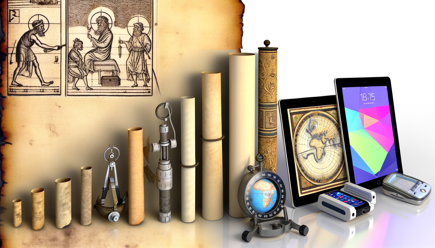
Maps are indispensable tools in our modern lives.
Whether you are navigating a city with your smartphone's GPS, visualizing global data trends, or planning a road trip, maps provide the essential framework for understanding our world.
But the sophisticated maps we use today did not appear overnight; they are the result of thousands of years of human endeavor, innovation, and evolving understanding.
This journey from early sketches on clay tablets to complex digital interfaces is a fascinating story, and a significant chapter unfolds during the period often described as the medieval era leading into the dynamic Age of Discovery.
In this post, we will delve into the captivating evolution of cartography during this transformative time, exploring the diverse mapping traditions that flourished across different cultures and the pivotal moments that propelled mapmaking from symbolic art towards scientific accuracy.
Understanding this history offers crucial context for appreciating the power and limitations of modern maps, revealing how our ancestors grappled with representing a complex world and how technological and intellectual progress continuously reshaped our geographic knowledge.
Join us as we chart this incredible course through the history of cartography, discovering the maps that guided sailors across uncharted oceans and helped define the emerging global landscape.
Mapping the Medieval World: Faith, Function, and Flourishing Scholarship
Following the decline of the Western Roman Empire, cartography in Europe saw a shift, moving away from the pragmatic road maps and administrative surveys of the Romans towards more symbolic or theo-centric representations.
However, simultaneously, other regions of the world, particularly the Islamic lands, were experiencing a golden age of scientific and intellectual growth, which significantly advanced geographic knowledge and mapmaking techniques.
This period, roughly spanning from the 5th to the 15th centuries, presents a diverse landscape of cartographic traditions, each serving distinct purposes and reflecting the unique worldviews of their creators.
Islamic Cartography: Centers of Learning and Practical Maps
While Europe was often relying on earlier models and developing symbolic maps, scholars in the Islamic world were actively preserving, translating, and building upon the geographic knowledge of the ancient Greeks, particularly the works of Ptolemy.
Caliphates and sultanates spanned vast territories, necessitating accurate maps for administration, taxation, pilgrimage routes, trade, and military campaigns.
Mathematics, astronomy, and geography were closely intertwined disciplines in Islamic centers of learning like Baghdad, Cairo, and Cordoba, leading to sophisticated cartographic methods based on astronomical observations and mathematical calculations.
Al-Idrisi and the Tabula Rogeriana
One of the most outstanding figures of this era was Muhammad al-Idrisi, a geographer, cartographer, and traveler who worked at the court of King Roger II of Sicily.
Though a Norman king, Roger II was a patron of learning and commissioned al-Idrisi to create a comprehensive world map and geographic compendium.
The result was the monumental *Tabula Rogeriana* (Roger's Book), completed in 1154.
This work was based on extensive travel accounts, existing maps, and meticulous surveys, synthesized from interviews with hundreds of travelers.
Al-Idrisi's world map was oriented with the south at the top, a common practice in Islamic cartography, and depicted Europe, Asia, and Africa with remarkable detail for its time.
The accompanying text provided detailed descriptions of regions, climates, and cultures, making it a vital resource for centuries and a testament to the advanced state of Islamic geography.
Practical Maps for Trade and Travel
Beyond scholarly works like al-Idrisi's, the demands of an expansive trading network fueled the creation of more practical maps.
Merchants and pilgrims needed reliable guides to routes across deserts, over mountains, and along coastlines.
These maps, though fewer examples survive compared to later European maps, were functional tools designed to facilitate movement and commerce.
They demonstrated a clear understanding of practical navigation and distance, born out of necessity and empirical observation.
European Medieval Maps: Faith and Function
European medieval cartography followed different trajectories depending on their purpose.
Two prominent forms emerged: the highly symbolic Mappa Mundi and the more practical, navigation-focused Portolan charts.
These styles often coexisted but served entirely different needs and reflected contrasting understandings of the world.
Mappa Mundi: World Views and Symbolic Meaning
The Mappa Mundi (Latin for "map of the world") were large, elaborate maps created primarily within monastic or ecclesiastical contexts.
They were not intended as precise navigational aids but rather as encyclopedic representations of the world according to Christian theology, history, and cosmology.
These maps typically depicted the inhabited world (Europe, Asia, and Africa) as a circle, often surrounded by an ocean.
Jerusalem was frequently placed at the center, reflecting its spiritual importance, and the maps were often oriented with East at the top (hence the term "orientation").
A common structure was the T-O map, where a "T" shape formed by the Mediterranean Sea, Nile River, and Don River divided the world into three continents (Asia, Europe, Africa) within an encompassing circle ("O") of the ocean.
Examples like the Hereford Mappa Mundi are richly illustrated, incorporating biblical events, classical myths, real and mythical creatures, and descriptions of distant lands, serving as visual sermons or educational tools about history, geography, and theology.
Their value lay in their symbolic and educational content rather than their geographical accuracy.
Portolan Charts: Navigational Needs
In stark contrast to the Mappa Mundi were the Portolan charts, which emerged in the Mediterranean around the late 13th century.
These were practical sea charts created by and for mariners, based on compass directions and estimated distances observed during voyages.
Drawn on vellum (prepared animal skin), Portolan charts are characterized by remarkably accurate coastlines of the Mediterranean and Black Seas, a dense network of rhumb lines radiating from compass roses (indicating compass bearings), and detailed port names listed along the coasts.
They allowed sailors to plot courses between harbors using a compass and ruler.
While their accuracy was largely confined to the surveyed coastlines and they lacked a systematic projection or representation of the Earth's curvature, they were revolutionary for practical navigation and facilitated the significant increase in maritime trade during the later medieval period.
The Age of Discovery: Expanding Horizons and New Challenges
The late 15th and 16th centuries marked a period of unprecedented global exploration by European powers.
Voyages by figures like Columbus, Vasco da Gama, and Magellan dramatically expanded the known world, revealing continents and oceans previously only imagined or unknown in Europe.
This explosion of new geographic information created an urgent demand for better maps and simultaneously challenged existing cartographic knowledge and methods.
The Age of Discovery was a catalyst for fundamental changes in how maps were made and perceived.
The Need for New Maps
Existing maps were simply inadequate for the scale and ambition of these new voyages.
Mappa Mundi were irrelevant for navigation, and while Portolan charts were excellent for coastal sailing in known waters, they couldn't depict vast oceans or entirely new landmasses accurately.
Explorers needed maps that could show the relationship between continents, plot long-distance routes across oceans, and incorporate newly discovered territories.
The scramble to map the New World and find sea routes to Asia spurred intense cartographic activity.
Ptolemy's Revival and Influence
Crucially, the late medieval period saw the rediscovery and translation into Latin of Claudius Ptolemy's *Geography*, an ancient Greek treatise from the 2nd century AD.
Ptolemy's work was groundbreaking because it proposed a systematic, mathematical approach to mapmaking using a grid of latitude and longitude derived from astronomical observations.
Although Ptolemy's coordinates for many places were inaccurate (he also significantly underestimated the Earth's circumference), his principles provided a theoretical framework for creating maps of the entire known world.
The revival of Ptolemy's methods gave European cartographers a powerful tool and a goal: to map the world based on coordinates, moving beyond descriptive or symbolic representations.
Early maps of the Age of Discovery often attempted to integrate Ptolemaic principles with new information from voyages, leading to fascinating, sometimes contradictory, depictions.
Key Cartographers and Their Works
This era produced iconic maps and cartographers who grappled with the influx of new data.
Martin Waldseemüller's 1507 world map is famous for being the first to depict the Americas as a separate continent and label it "America" after Amerigo Vespucci.
Gerardus Mercator, a Flemish cartographer, was another towering figure.
His 1569 world map introduced the Mercator projection, a system where lines of latitude and longitude intersect at right angles.
Mercator's Innovation and Impact
The Mercator projection was revolutionary because it allowed navigators to plot a course of constant compass bearing (a rhumb line) as a straight line on the map.
This was incredibly useful for ocean voyages.
However, it achieved this by distorting areas, particularly exaggerating the size of landmasses closer to the poles.
Despite its area distortions, the Mercator projection's utility for navigation made it the standard for nautical charts for centuries.
Mercator also popularized the use of globes and compiled multi-sheet wall maps and atlases, contributing significantly to the dissemination of geographic knowledge.
Technological Advancements Supporting Discovery Maps
The Age of Discovery wasn't just about exploration; it was also enabled by technological progress that directly impacted cartography.
The magnetic compass, which had been known for centuries but saw improvements in housing and mounting, became essential for determining direction at sea.
The astrolabe and later the quadrant allowed mariners to measure the altitude of celestial bodies, which could be used to calculate latitude.
While longitude remained a significant challenge until the 18th century, the ability to determine latitude was a major step forward.
Perhaps most impactful for the spread of cartographic knowledge was the printing press.
Invented in Europe in the mid-15th century, the printing press made it possible to produce multiple copies of maps relatively cheaply and quickly compared to hand-drawn versions.
This facilitated the wider distribution of new geographic information, allowing cartographers across Europe to access and build upon the latest discoveries and techniques, fueling the cartographic revolution of the era.
The Renaissance and Scientific Revolution: Towards Accuracy and System
Building on the momentum of the Age of Discovery, the Renaissance and the subsequent Scientific Revolution saw a concerted effort to make cartography more accurate, systematic, and scientifically grounded.
The focus shifted from simply depicting what was found to measuring and representing the Earth with greater precision.
Mathematical principles, improved instruments, and systematic surveying techniques became central to mapmaking.
This period laid the groundwork for modern cartography as a rigorous scientific discipline.
The Rise of National Mapping
As nation-states consolidated power, they recognized the strategic and economic importance of detailed, accurate maps of their own territories.
Maps were needed for administration, taxation, infrastructure planning, and military defense.
Governments began commissioning large-scale surveys, often employing mathematicians, astronomers, and engineers.
The Cassini family in France, for instance, undertook a multi-generational project to create the first modern, detailed topographic map of an entire country using scientific methods.
Triangulation and Surveying Techniques
A key advancement in creating accurate land maps was the development and widespread adoption of triangulation.
Pioneered by Gemma Frisius and later refined by others, triangulation involves measuring the angles of triangles formed by known points (like landmarks or specially erected signals) and calculating the unknown distances and positions of other points based on the measurement of one known baseline.
This allowed for the creation of accurate frameworks of control points across a landscape, providing a precise basis upon which to fill in geographic details.
Instruments like the theodolite were developed or improved to facilitate accurate angle measurement.
The Development of Projections
While Mercator's projection dominated nautical charts, the challenge of representing the spherical Earth on a flat map for other purposes led to the exploration and development of various map projections.
Cartographers understood that no flat map could perfectly preserve area, shape, distance, and direction simultaneously.
Different projections were designed to minimize distortion of specific properties depending on the map's intended use, reflecting a growing theoretical understanding of geodesy (the science of the Earth's shape and size).
The Dawn of Scientific Cartography
By the end of the 17th century, cartography was increasingly based on mathematical principles, astronomical observations (though longitude remained a challenge), systematic measurement, and empirical data rather than solely on tradition, theology, or fragmented reports.
The establishment of national observatories and scientific societies fostered collaboration and the dissemination of knowledge.
While inaccuracies persisted (especially regarding longitude at sea), the commitment to scientific rigor fundamentally changed the trajectory of mapmaking.
The Legacy and Looking Forward
The period from medieval times through the Age of Discovery and the Scientific Revolution laid the essential groundwork for all subsequent cartographic development.
The transition from symbolic or localized maps to attempts at global, accurate representations was a monumental shift.
Innovations like Portolan charts, the re-adoption of mathematical principles from Ptolemy, the invention of projections like Mercator's, and the development of systematic surveying techniques fundamentally altered our ability to understand, measure, and navigate the world.
Conclusion
The history of cartography from the medieval period through the Age of Discovery and the Scientific Revolution is a story of evolving knowledge, technological innovation, and changing human needs.
From the symbolic Mappa Mundi reflecting spiritual views and the practical Portolan charts guiding sailors in coastal waters, to the global maps spurred by exploration and the scientifically derived surveys of emerging nations, each stage built upon the last.
This journey highlights the continuous human effort to make sense of our geographic surroundings, driven by everything from faith and trade to exploration and administration.
Understanding this rich history provides crucial context for the maps we interact with daily, revealing the long and complex process behind their creation.
It offers a profound appreciation for the ingenuity and dedication of the cartographers who, over centuries, transformed our understanding and depiction of the Earth, paving the way for the detailed and dynamic maps of today.
The maps from this era are not just historical artifacts; they are windows into the minds of people striving to chart their place in an ever-expanding world.