


How Maps Reflect Societal Change: A Journey Through History, Culture, and Technology
Beyond the Compass Rose: Understanding Maps as Societal Mirrors
Maps are often seen as purely objective representations of the world, neutral tools for navigation and understanding geography. We use them daily on our phones or glance at them in textbooks, perhaps taking for granted the lines, symbols, and colors they contain.
However, delving deeper reveals a fascinating truth: maps are far more than just geographic guides. They are powerful historical documents, cultural artifacts, and potent reflections of the societies that create them, capturing snapshots of knowledge, values, and power at specific moments in time.
This post will take you on a journey through time to explore how maps have evolved not just in accuracy but in what they choose to depict, revealing profound insights into political shifts, technological progress, social structures, and cultural perspectives. By understanding how to "read" maps critically, looking beyond the simple geography, you gain a powerful lens through which to view human history and the ever-changing nature of society.
Ancient Insights: Early Maps and the Dawn of Recorded History
Mapping Early Civilizations and Worldviews
The earliest known maps were not necessarily about detailed navigation across vast distances; they were often about understanding and organizing the immediate world. Babylonian clay tablets from millennia ago depicted local areas, property lines, or even mythical worldviews, showing the center of their known universe.
These early maps were limited by technology and geographic knowledge but were rich in cultural significance. Greek cartographers like Anaximander and later Ptolemy made significant strides towards scientific mapping, attempting to represent the known world with increasing mathematical rigor.
Ptolemy's Geographia, compiled in the 2nd century AD, was a monumental work that attempted to list and locate all known places with coordinates. While containing errors, his work was incredibly influential for over a thousand years, demonstrating how the scientific and intellectual ambitions of a society could be preserved and transmitted through cartography, albeit reflecting a world centered around the Mediterranean.
The Age of Exploration: Defining Borders and Claims
Cartography as a Tool of Empire
The Age of Exploration, beginning in the 15th century, fundamentally changed the purpose and power of maps. Suddenly, maps were not just about depicting the known world but about discovering, claiming, and controlling the unknown.
European powers invested heavily in cartography, as accurate maps were essential for navigating new sea routes, finding resources, and establishing trade networks. Maps became tools of state power, vital for asserting territorial claims and defining the boundaries of burgeoning empires.
As European explorers mapped new continents, their maps often erased the presence and history of the indigenous populations already living there. Place names were arbitrarily assigned, lands were divided by lines drawn far away in European capitals, and traditional ways of relating to the land were ignored, starkly illustrating how maps could reflect and facilitate the dominance of one society over another.
Industrial Revolution and the Reshaping of Landscapes
Mapping Urban Growth and Infrastructure
The 18th and 19th centuries brought about rapid industrialization and urbanization, and maps were indispensable in documenting these transformations. Cities exploded in size, requiring detailed mapping for planning, infrastructure development, and administration.
New features like railways, canals, factories, and mining areas appeared on maps, showing how societies were reorganizing themselves around new economic activities. Land use maps became crucial for managing resources and planning the layout of rapidly expanding towns and industrial centers.
These maps reveal the priorities of industrial societies, focusing on efficiency, connectivity (for trade and transport), and the spatial organization of labor and production. They provide a visual history of the dramatic physical changes wrought by industrial progress.
Depicting Social Stratification
Beyond infrastructure and land use, maps also began to reflect the social consequences of industrialization. Early forms of thematic mapping emerged, sometimes unintentionally, showing patterns of social stratification.
Maps of large cities could implicitly or explicitly show where different social classes lived, where industries were located in relation to residential areas, or how certain neighborhoods were developing compared to others. While not always the primary intention, comparing maps from different periods or looking at the density and type of development could reveal widening social divides.
In some cases, maps were deliberately used to analyze social conditions, laying the groundwork for later, more sophisticated social mapping techniques. They provided a spatial context for understanding the human impact of economic changes.
Nations, Conflicts, and Shifting Boundaries
Maps as Instruments of Nationalism
The rise of nation-states in the 19th and 20th centuries cemented the map's role as a powerful symbol of national identity and sovereignty. National mapping agencies were established to create detailed, uniform maps of the entire territory, reinforcing the idea of a cohesive nation within defined borders.
Maps became educational tools, teaching citizens the shape and extent of their country, fostering a sense of belonging and national pride. This period saw intense focus on border delineation, with maps used to justify territorial claims and negotiate international boundaries.
The redrawing of European maps after World War I, for instance, vividly illustrates how political decisions driven by nationalism and international power dynamics directly altered the lines on the map, creating new countries and reflecting the collapse of old empires and the emergence of new national aspirations.
Cold War Divisions and Modern Geopolitics
The mid to late 20th century saw maps reflecting global ideological and political divides. The line often drawn through Germany representing the Iron Curtain became a potent symbol of the Cold War, dividing not just a country but entire political and economic systems.
Maps of this era highlighted military alliances (NATO versus Warsaw Pact), areas of influence, and potential conflict zones, reflecting the pervasive tension and global reach of the superpower rivalry. Cartography became a tool for strategic planning and public messaging, emphasizing national security and geopolitical positions.
Today, maps continue to mirror ongoing geopolitical shifts, showing disputed territories, refugee flows, areas affected by conflict, and the impacts of climate change on national boundaries and resources. They remain essential for understanding international relations and global challenges.
Mapping Social Ills and Public Health
Early Examples of Thematic Mapping
Maps are not only useful for depicting physical or political geography; they can also be powerful tools for understanding and addressing social issues. One of the most famous early examples is John Snow's 1854 map of cholera cases in London.
By mapping the locations of cholera outbreaks alongside the positions of public water pumps, Snow was able to visually demonstrate a correlation, leading to the identification of contaminated water as the source of the epidemic. His map was not just a geographic representation but a critical analytical tool that saved lives and advanced public health.
This pioneering work showed the potential of thematic mapping – using maps to display data related to a specific theme, such as disease, poverty, crime, or literacy – to reveal patterns and insights that might be invisible in tables or reports. It demonstrated how maps could be used for social investigation and reform.
Contemporary Social Mapping
In the modern era, Geographic Information Systems (GIS) and digital mapping technologies have dramatically expanded the possibilities for social mapping. GIS allows for the layering and analysis of vast datasets related to demographics, income levels, access to healthcare or education, environmental pollution, and much more.
Social scientists, urban planners, and activists use maps to visualize inequalities, identify underserved communities, track the spread of diseases, analyze crime hotspots, and plan interventions. Maps can be powerful advocacy tools, making abstract data about social issues tangible and compelling by showing its spatial distribution.
Contemporary social mapping reflects a societal concern with equity, public health, and understanding the complex spatial relationships between people, resources, and challenges. It is a vital tool for evidence-based policy-making and community empowerment.
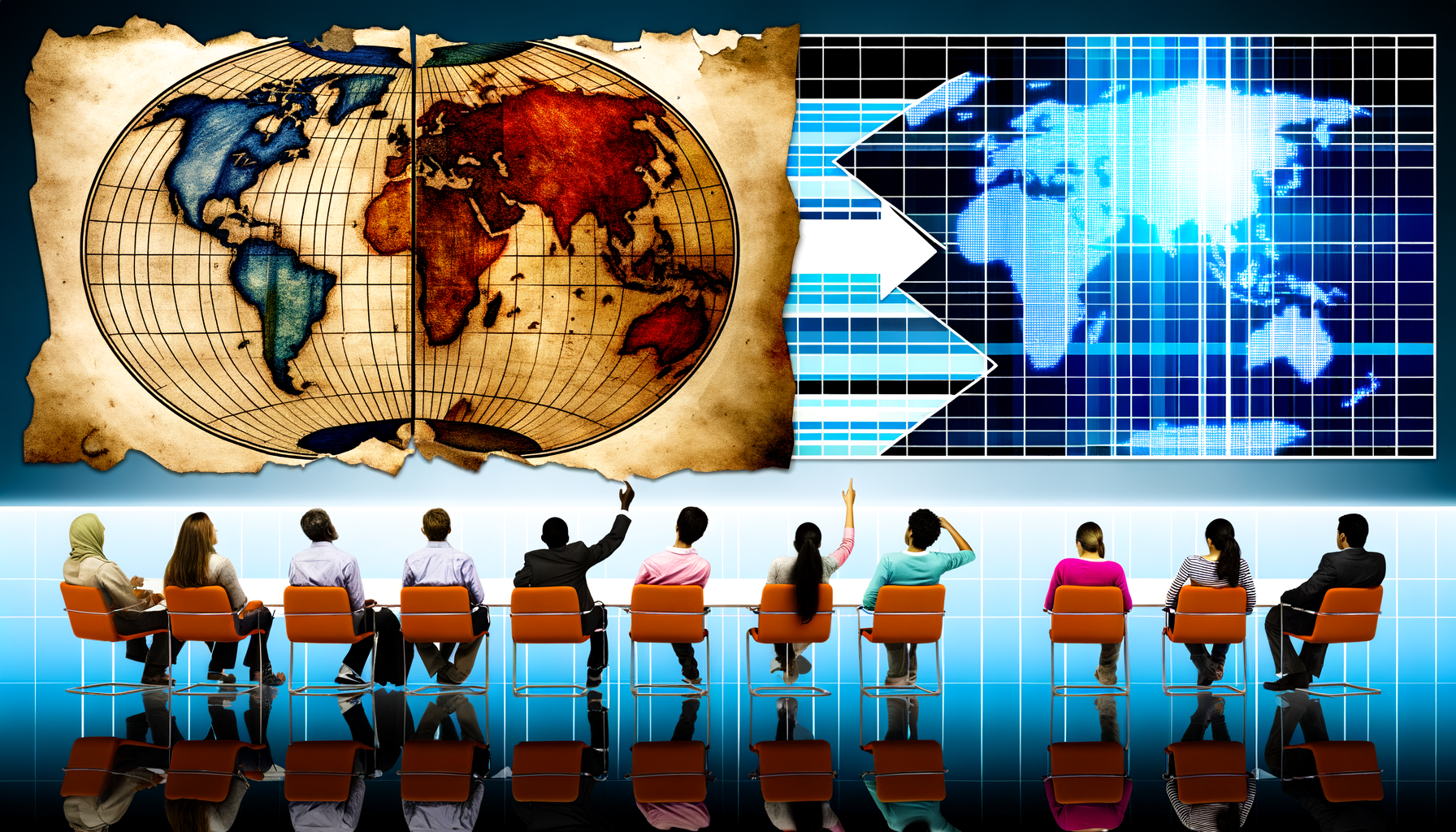
The Digital Revolution: From Paper to Pixels and Beyond
The Impact of GIS and Digital Cartography
The advent of digital technology has arguably brought about the most significant transformation in cartography since the printing press. Geographic Information Systems (GIS) allow for the creation, management, analysis, and display of geographically referenced data with unprecedented speed and flexibility.
Digital maps can be easily updated, zoomed, panned, and customized. They enable complex spatial analysis, allowing researchers and planners to identify correlations and patterns that were previously impossible to discern from static paper maps. The ability to overlay multiple layers of data – roads, demographics, environmental data, historical records – unlocks powerful insights.
This technological leap has made mapping more accessible, faster, and more analytical, profoundly changing how we create, use, and interact with spatial information and reflecting society's increasing reliance on digital data.
Crowdsourcing and Citizen Mapping
Digital platforms have also opened up mapping to a wider audience, giving rise to crowdsourced and citizen mapping initiatives. Projects like OpenStreetMap allow volunteers from around the world to contribute geographic data, creating incredibly detailed and up-to-date maps, especially in areas not well-covered by traditional mapping agencies.
This phenomenon reflects a shift in how spatial knowledge is produced, moving from solely institutional or governmental sources to include contributions from individuals and communities. It can empower local populations to map their own areas, highlighting features important to them that might be overlooked by external mappers.
Crowdsourced maps can capture lived experiences and local knowledge, providing alternative perspectives to official maps and demonstrating a societal desire for more participatory and bottom-up data creation.
Big Data, Personalization, and New Challenges
Modern digital maps are increasingly dynamic and personalized, driven by vast amounts of data from sensors, mobile devices, and online interactions. Real-time traffic information, personalized restaurant recommendations based on location, and dynamic weather overlays are now commonplace.
Mapping services track our movements and preferences, offering convenience but also raising significant questions about data privacy and surveillance. The algorithms that power personalized maps can also embed biases, influencing the routes we are shown or the places we are directed towards.
This era of big data mapping reflects a society increasingly focused on personalization, efficiency, and data-driven insights, but also grappling with the ethical implications of ubiquitous tracking and the potential for digital exclusion or manipulation.
Beyond Utility: Cultural and Subjective Maps
Maps as Art and Expression
While many maps aim for objective geographic representation, maps have also long served as vehicles for artistic expression and cultural commentary. Historical maps often included decorative elements, mythical creatures, or illustrations reflecting the mapmaker's worldview or cultural beliefs.
In modern times, artists use maps as a medium to explore themes of identity, memory, place, and social issues, sometimes deliberately distorting geography or layering unexpected information. These maps challenge conventional notions of accuracy and utility.
Maps in art reflect a societal understanding that place is not just defined by coordinates but by personal experience, collective memory, and cultural narratives. They show that maps can evoke emotion and provoke thought, not just guide movement.
Indigenous Mapping and Counter-Mapping
For many indigenous cultures, knowledge of the land is passed down through oral tradition, stories, and intuitive navigation, not necessarily through static, two-dimensional maps. The concept of mapping Western style was often introduced forcefully by colonizers.
In recent decades, indigenous communities worldwide have engaged in "counter-mapping" – creating maps that represent their traditional territories, land use, sacred sites, and history from their own perspective. These maps often challenge the boundaries and narratives imposed by colonial or governmental maps.
Indigenous mapping is a powerful act of cultural assertion and resistance. It reflects a societal recognition of diverse knowledge systems and a growing movement towards decolonizing cartography, ensuring that maps represent the history and connection to land of all peoples.
Navigating the Future: What Will Maps Show Us Tomorrow?
Dynamic, Interactive, and Immersive Mapping
The future of mapping points towards increasingly dynamic, interactive, and even immersive experiences. Maps will continue to integrate real-time data, constantly updating to reflect changing conditions from traffic and weather to social trends and environmental shifts.
Augmented reality (AR) and virtual reality (VR) are beginning to integrate mapping into immersive environments, allowing us to navigate not just a representation of the world but the world itself, overlaid with digital information. Think of walking down a street and seeing information about buildings or history pop up through your AR glasses.
These technological advancements reflect a societal desire for immediate, layered information and an increasingly blurred line between the digital and physical worlds.
Mapping the Abstract and the Invisible
As data becomes ever more abundant, maps are being used to visualize increasingly abstract and invisible phenomena. We are mapping not just physical locations but social networks, data flows, sentiment analysis, emotional landscapes, and the complex interconnections of global systems.
Maps can show the spread of ideas, the movement of capital, the impact of climate change on ecosystems, or even abstract concepts like risk and resilience. This expansion of what is mappable reflects a growing societal interest in understanding complex systems and invisible forces shaping our world.
These maps push the boundaries of traditional cartography, requiring new visualization techniques to represent data that doesn't fit neatly onto a geographic base layer.
Ethical Considerations in Modern Mapping
With the power and pervasiveness of modern mapping comes significant ethical responsibility. The data used in maps, especially personalized or large-scale datasets, raises concerns about privacy, surveillance, and who has access to what information.
Furthermore, the algorithms that power digital maps can inadvertently or intentionally embed biases, reinforcing existing inequalities or shaping perceptions in subtle ways. For example, a navigation algorithm might favor routes that bypass certain neighborhoods.
Ensuring equitable representation, data security, transparency in algorithms, and accessibility for all users are critical challenges for the future of cartography. Addressing these issues reflects a societal grappling with the power of data and the need to ensure technology serves humanity equitably.
Conclusion: Reading the World Through Maps
Maps are far more than simple geographical tools; they are dynamic records of human history, societal evolution, and cultural diversity. From ancient clay tablets reflecting early worldviews to modern digital interfaces charting real-time global flows, maps have continuously adapted to reflect the changing knowledge, priorities, and technologies of their time.
They show us not just where things are, but who held power, what was considered important, how societies organized themselves, and what values they held. Maps reveal political boundaries, economic infrastructure, social divisions, scientific understanding, and cultural perspectives.
By learning to read maps critically – questioning what they include, what they omit, and whose perspective they represent – we gain a powerful tool for understanding the complex and ever-changing world around us. Maps are not neutral mirrors, but active participants in shaping our understanding of place and society, and they will continue to evolve as we do.