


Choosing an Updated Globe: Your Essential Guide to Accurate Cartography
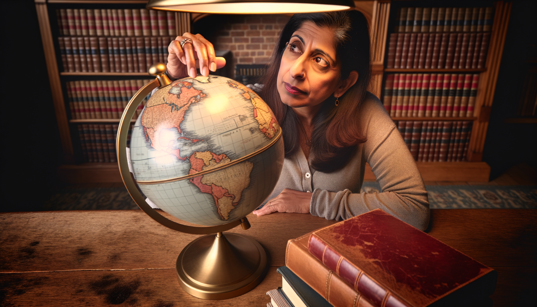
The world is a dynamic place, constantly changing politically, geographically, and socially. For centuries, globes have served as fascinating tools for understanding our planet, offering a three-dimensional perspective that flat maps simply cannot replicate. They are cherished items in classrooms, libraries, offices, and homes, sparking curiosity and providing a tangible representation of Earth.
However, the very dynamism that makes our world so interesting also presents a challenge for static representations like globes. Borders shift, countries emerge and dissolve, city names change, and even our understanding of physical geography evolves with new data. This means that an old globe, while perhaps a beautiful antique, can quickly become an unreliable source of current information.
For anyone seeking a globe that accurately reflects the world as it is today – whether for educational purposes, travel planning, informed reference, or simply personal enrichment – choosing one with updated cartography is absolutely essential. This guide will walk you through why cartographic currency matters, the challenges involved in keeping globes current, and the key factors you need to consider to find a globe that is both informative and accurate for your needs.
We will explore the nuances of what "updated" truly means in the context of a physical globe, helping you ask the right questions and look for the tell-tale signs of recent cartography. By the end of this post, you will possess the knowledge to confidently select a globe that not only looks impressive but also serves as a reliable and current window to our amazing planet.
Why Updated Cartography on a Globe is Crucial
In an era where digital maps are updated almost in real-time, the value of a physical globe might seem diminished, but its unique perspective remains invaluable. A globe provides context for scale, distance, and the true relationship between landmasses and oceans in a way that a flat map can distort, especially at the poles. However, the utility of this perspective hinges entirely on the accuracy and currency of the information displayed upon its surface.
Using a globe with outdated cartography can lead to significant misunderstandings. Imagine a student learning geography from a globe that still shows the Soviet Union or Yugoslavia; they are gaining a fundamentally incorrect understanding of the geopolitical landscape of large parts of Europe and Asia. Travel planning using outdated borders or country names could cause confusion or even complications.
Beyond political boundaries, our understanding of physical geography also evolves. New bathymetric data reveals more accurate ocean floor topography, satellite imagery refines coastlines, and geological surveys update information about mountain ranges or geological features. While political changes are often the most visible and rapid, these physical updates contribute to a more accurate overall representation of the Earth's surface.
For educators, an updated globe is a non-negotiable tool for teaching current events, international relations, and contemporary geography. For businesses involved in international trade or logistics, accurate country names and locations are vital. Even for the casual user, having a globe that reflects the world as it is today provides a more relevant and engaging experience, connecting them to the present reality of global affairs and geography. An outdated globe is less a tool for learning about the current world and more a historical artifact, which while interesting, serves a different purpose entirely.
Political Shifts and Their Impact on Globes
Perhaps the most frequent and noticeable reason why cartography on a globe needs updating is due to political changes. The late 20th and early 21st centuries have seen dramatic shifts in the global political map. The dissolution of the Soviet Union, the reunification of Germany, the formation of new nations in Eastern Europe and Africa (like South Sudan), and changes in country names or capital cities are just a few examples.
Each of these events necessitates significant changes on a map or globe. Borders must be redrawn, country colors and labels updated, and capital cities correctly marked. A globe produced before 1991, for instance, will look vastly different politically from one produced today. The presence or absence of specific countries or borders serves as a quick, though not definitive, indicator of a globe's age.
Relying on a globe that predates these changes means working with obsolete information. This isn't merely an academic concern; understanding the current political landscape is crucial for comprehending global news, history in the making, and international relations. For students, it is foundational to their geographic literacy. For adults, it ensures they are referencing the actual political entities that exist today.
Therefore, when evaluating a globe, paying close attention to the political divisions and labels is a primary step in determining how updated its cartography truly is. This is often the first area where a globe becomes noticeably outdated.
Evolving Geographic Knowledge and Data
While political boundaries grab headlines, our understanding of the physical world is also constantly being refined. Technological advancements, particularly in satellite imagery, remote sensing, and sonar technology, allow us to map the Earth's surface and ocean floor with unprecedented detail and accuracy. This leads to updates in physical cartography.
New data might refine coastlines, correct the precise locations of islands, provide more accurate elevations for mountain ranges, or reveal previously unknown features of the ocean depths, such as seamounts or trenches. Even seemingly minor corrections contribute to a more precise overall model of the Earth.
For a physical or combined political and physical globe, these updates mean more accurate contour lines, better representation of landforms, and improved bathymetric data in the oceans. While these changes might be less immediately obvious than a new country, they reflect the continuous progress of geographic science and contribute to the overall fidelity of the globe as a model of Earth.
Choosing a globe that incorporates recent geographic data ensures you are benefiting from the latest scientific understanding of our planet's physical features. This is particularly important for users interested in geology, oceanography, or environmental studies.
The Challenge of Keeping Globes Updated
Given the constant flux of the world's geography and politics, one might wonder why physical globes aren't updated more frequently or why it's even a significant point of consideration. The answer lies in the complex and costly process of creating and manufacturing globes.
Unlike digital maps which can be updated server-side with almost immediate effect globally, physical globes are manufactured items. They require significant investment in cartographic research, design, printing plates or digital printing setups, and the physical production process of creating the sphere and applying the map gores (the shaped pieces of map that cover the sphere). Each update, especially one involving significant border changes or new country names, requires redoing much of this intricate process.
Manufacturers need to balance the cost of creating new cartography and tooling with the demand for updated globes. This often means that updates are batched together, perhaps incorporating several years' worth of changes into a new edition. The time lag between a political event occurring and it appearing on a mass-produced physical globe can range from months to several years.
Furthermore, retailers hold inventory. A store or online vendor may be selling globes that were manufactured a year or two prior, even if the manufacturer has since released a more current version. This is why it's crucial for consumers to actively seek out information about the cartography date, rather than assuming a newly purchased globe is based on the very latest information available anywhere in the world.
Understanding these challenges helps set realistic expectations. While you can find globes with very recent cartography, they may lag slightly behind the absolute cutting edge of geographic or political change represented in digital formats. The goal is to find the *most current* version available within the physical globe production cycle and relevant to your needs.
Defining "Updated" for a Physical Globe
When a manufacturer or retailer describes a globe as having "updated cartography," what does that actually mean? As we've discussed, it doesn't typically mean reflecting changes that happened last week. It usually means the cartography is based on geographic and political data as of a specific point in time, which is relatively recent compared to older globes.
A truly helpful description will include a date or period that the cartography represents. For example, a manufacturer might state, "Cartography updated to reflect political changes as of mid-2022" or "Based on geographic data from 2023." This level of transparency allows you to understand exactly how current the information is.
Without a specific date, you'll need to rely on other indicators. Checking for recently formed countries is one method. The presence of South Sudan (became independent in 2011) is a common, though now somewhat dated, test for whether a globe is post-2011. More recent changes might involve city name changes (like Nur-Sultan reverting to Astana in Kazakhstan in 2022) or other subtle border agreements.
"Updated" can also refer to the quality and source of the geographic data itself. Modern globes benefit from advanced satellite imagery and digital mapping techniques, resulting in more accurate shorelines, internal borders, and geographical features than globes based on older survey methods. So, an "updated" globe might also imply improvements in the underlying geographic base data, not just political labels.
It is important to differentiate between a globe that has current political boundaries and one that also incorporates the latest physical geographic data. Some globes prioritize political clarity, while others focus on detailed physical representation. The best "updated" globe for you depends on whether your primary need is current political information, accurate physical features, or a balance of both.
Key Factors to Consider When Choosing Your Updated Globe
Selecting the right globe involves more than just checking the copyright date (which often only indicates the start of a production run, not necessarily the cartography revision date). To find a globe that best fits your needs and offers the most current information, you need to consider several factors in combination. Thinking through these points will guide you to an informed decision.
Your purpose for wanting a globe is the most significant starting point. Are you buying it for a child's bedroom, a high school classroom, a corporate office, or your personal study? This dictates the required level of detail, durability, and the importance of cutting-edge updates versus overall aesthetic or feature set.
Other considerations include the physical size of the globe, which impacts readability and the scale of the map; the style of cartography (political, physical, or combined); the construction quality of the globe and its stand; and any additional features like illumination or interactivity. Of course, verifying the currency of the cartography remains paramount for an "updated" globe.
Let's delve into each of these factors to help you prioritize what matters most for your specific search.
Purpose and Primary Use
The intended use of your globe heavily influences the type of updated cartography you need and other features you might prioritize.
Educational Use:
For students (elementary to high school): Accuracy of political boundaries, country names, and capital cities is paramount. The globe should reflect the current geopolitical map taught in schools. Physical features are also important for understanding climate and environment. Durability is often a key factor for classroom or children's globes. Interactive features can enhance learning.
Reference and Study:
For adults, researchers, or travelers: The highest level of accuracy and the most recent cartography possible are usually desired. Detailed political and physical information is valuable. Scale and readability become very important, potentially favoring larger globes. Specific thematic maps (e.g., population density) might be sought by some.
Decorative Piece:
For home or office decor: While updated cartography is a bonus, the aesthetic appeal might take precedence. The style of the stand, the colors used on the map, and whether it's illuminated can be more important than reflecting the absolute latest border change. However, even for decor, a reasonably current map prevents it from looking noticeably obsolete.
Business or Professional Use:
For international companies, logistics, or political analysis: Requires the most current and accurate political cartography available. Clarity of country names, borders, and major cities is essential. Large size and high detail are often preferred.
Identifying your primary purpose helps you determine which aspects of "updated" cartography are most critical and which other features are necessary versus merely desirable.
Size, Scale, and Detail
The size of a globe is typically measured by its diameter. Common sizes range from 6 inches (desk size) to 12 inches (standard size) and up to 30 inches or more for large floor globes or library models. The size directly relates to the scale of the map displayed on its surface.
A larger globe allows for a larger scale map, meaning more physical area is represented per inch on the globe's surface. This enables greater detail to be shown. On a small globe, only major cities, countries, and features can be labeled. On a large globe, you might find smaller towns, rivers, mountain ranges, and more intricate political divisions.
For updated cartography, a larger scale often means that more recent, finer details can be included and remain legible. If a border change affects a small region or a city name change occurs in a less prominent location, it's more likely to be accurately depicted and readable on a larger globe with a larger scale map.
Consider where the globe will be placed and how it will be used. A large floor globe makes a statement and offers excellent detail for close study or reference, but requires significant space. A small desk globe is convenient and space-saving but sacrifices detail and potentially the ability to incorporate minor, very recent updates clearly. Match the size to your space constraints and your need for detailed, readable information.
Cartographic Style: Political vs. Physical
Globes typically feature either political or physical cartography, or a combination of both. The style you choose impacts the type of information that is emphasized and therefore which kind of "updated" information is most relevant.
Political Globes:
Focus on countries, borders, capital cities, and major towns. Different countries are usually shown in contrasting colors for easy differentiation. Updated political globes are crucial for tracking geopolitical changes, understanding current national boundaries, and locating cities within their present-day countries. These are often preferred for educational use focusing on civics and current events.
Physical Globes:
Focus on natural features such as mountains, plains, deserts, rivers, and ocean depths. Land elevation is often shown using color gradients (greens for lowlands, browns for highlands) and sometimes features raised relief. Ocean depths are similarly depicted with blues. Updated physical globes incorporate the latest geographic data from satellite surveys and oceanography. These are ideal for studying geology, topography, climate patterns, and natural environments.
Combined Globes (Dual-Purpose or Illuminated):
Many modern globes offer a combination. Some show political boundaries when not illuminated and reveal physical features when illuminated from within. Others display both sets of information simultaneously, sometimes requiring careful design to avoid clutter. For these, ensure *both* the political and physical layers use updated cartography.
Decide which type of information is your priority. If keeping up with political changes is your main concern, focus on a political globe or the political layer of a combined globe. If you are more interested in the Earth's landforms and oceanography, a physical globe with updated geographic data is key.
Verifying the Currency of the Cartography
This is arguably the most critical step when choosing an updated globe. Unlike books that clearly state their publication date, globes can be less forthcoming about the date their map data represents. Here is how to find out how current the cartography really is:
Look for a Cartography Date:
High-quality globes, especially those from reputable manufacturers, will often have a date printed discreetly on the map itself. This might be near the bottom edge of one of the map gores, in the ocean area, or near the South Pole. Look for phrases like "Cartography updated to," "Data as of," or simply a year (e.g., "© 2023"). This is the most reliable indicator.
Check Manufacturer Specifications:
If buying online or from a catalog, the product description should ideally state the date or version of the cartography used. Check the manufacturer's official website for details about their current globe models and the recency of their maps. Reputable brands pride themselves on accuracy and will usually provide this information.
Perform a "Spot Check" for Recent Changes:
If you can physically inspect the globe, look for countries or features that have changed relatively recently. The presence of South Sudan (independent 2011) is a basic check. Look for Crimea's status (disputed since 2014, often shown with a dashed line or special notation), or recent country name changes (like North Macedonia, changed in 2019). While not foolproof, this can quickly rule out very old globes.
Ask the Retailer:
If buying from a physical store or speaking to an online retailer's customer service, ask directly about the cartography date. A knowledgeable salesperson should be able to provide this information or find it for you. If they cannot or do not know, it might be a sign they are selling older stock or less-detailed models.
Be wary of descriptions that just say "new" or "current" without providing a specific date. "New" could simply mean newly manufactured from old plates. Always look for concrete evidence of when the map data was last revised. Aim for cartography that is as recent as possible, ideally within the last few years, understanding the production cycle limitations.
Construction, Materials, and Quality
The physical construction of the globe affects its durability, appearance, and longevity. While not directly related to the *date* of the cartography, the quality of construction is important for preserving that updated map.
The globe sphere itself is typically made from sturdy cardboard, plastic, or sometimes even glass (for high-end models). The map is printed on paper gores which are then carefully applied to the sphere. High-quality printing ensures the labels are crisp and legible, and the colors are accurate.
The stand is another key component. Stands can be made from plastic, wood, or metal. Consider the stability of the stand, especially for larger globes or those that will be handled frequently. A wobbly stand can lead to the globe falling and being damaged. Some stands feature a meridian, a semicircular or full ring allowing the globe to tilt or spin, sometimes marked with degrees of latitude.
Pay attention to the seams where the gores meet. On a well-made globe, these seams should be almost invisible and should not distort the map information. Poorly applied gores can make areas near the seams difficult to read or appear inaccurate.
Durability is particularly important for globes intended for children or classroom use. Look for sturdy construction and materials that can withstand handling. For decorative globes, the aesthetic quality of the stand and sphere finish might be the priority. Investing in a well-constructed globe helps ensure that your updated cartography remains intact and usable for years to come.
Additional Features: Illumination and Interactivity
Many modern globes come with additional features that can enhance their functionality and appeal. These features, while not directly related to the *recency* of the cartography, are often found on newer, more likely-to-be-updated models.
Illuminated Globes:
These globes have a light source inside the sphere. They can serve as attractive lamps and often feature dual maps. When unlit, they might show political boundaries, but when illuminated, a different map is revealed, perhaps showing physical geography, satellite imagery, or even historical maps. If choosing a dual-map illuminated globe, ensure that both layers feature reasonably updated cartography relevant to their type.
Interactive or "Smart" Globes:
These leverage technology to provide additional information. Some use a stylus that, when touched to a location on the globe, triggers audio information about that place (capital city, population, facts). Others work with smartphone or tablet apps that use augmented reality to display layers of digital information (animal facts, landmarks, weather) when the device camera is pointed at the globe. While the *physical* map on the globe still has a specific cartography date, the digital content accessed through these features can sometimes be updated more frequently, offering a hybrid approach to current information. However, verify the physical map's date first, as it is the base.
These features add cost but can significantly increase engagement, especially for educational purposes. Consider if the added functionality is worth the price for your intended use.
Finding Reputable Manufacturers and Retailers
Where you purchase your globe can be as important as understanding the features you need. Buying from reputable sources increases your likelihood of finding a high-quality globe with accurately stated cartography dates and good customer support.
Established globe manufacturers often have a long history of cartographic excellence and invest in keeping their map data current. Brands known for quality include Replogle, National Geographic (which partners with manufacturers), and various European manufacturers like Columbus or Bellerby (though the latter are high-end artisanal globes). Research manufacturers and read reviews before committing.
Look for retailers who specialize in globes, educational supplies, or high-quality maps and geographical tools. These retailers are more likely to understand the importance of updated cartography and be able to provide you with specific details about the globes they sell. They are also more likely to stock newer models from reputable manufacturers.
Be cautious when buying globes from general retailers who do not specialize in geographical products, particularly if the price seems unusually low for the globe's size and features. These may be older stock or manufactured with less frequent cartographic updates. Always use the tips from the "Verifying Currency" section, regardless of where you buy.
Do not hesitate to contact the retailer or manufacturer directly if the cartography date is not clearly listed. Their responsiveness and willingness to provide this information can be a good indicator of their reliability and the quality of their products. A reputable seller wants you to be informed about your purchase.
Caring for Your Updated Globe
Once you have found and purchased a globe with the updated cartography you need, proper care will ensure its longevity and keep it looking its best. A well-maintained globe can be a source of information and inspiration for many years.
Keep your globe out of direct sunlight. Prolonged exposure to UV rays can cause the colors on the map gores to fade and the materials to become brittle, diminishing the clarity of the cartography over time. Place it in a location with stable temperature and humidity, avoiding extremes.
Dust is the most common issue. Gently dust the globe regularly with a soft, dry cloth. Avoid using abrasive materials or harsh cleaning chemicals, which can damage the printed surface or the protective coating. If deeper cleaning is needed for fingerprints or smudges, use a slightly damp (not wet) soft cloth and test a small, inconspicuous area first.
Handle the globe carefully, especially when rotating it or moving it. Avoid pressing down too hard on the surface, which could dent the sphere or damage the gores. If your globe has an illuminated feature, follow the manufacturer's instructions for bulb replacement.
By taking these simple steps, you can preserve the updated cartography and the beauty of your globe, ensuring it remains a valuable resource and a cherished object for years to come.