


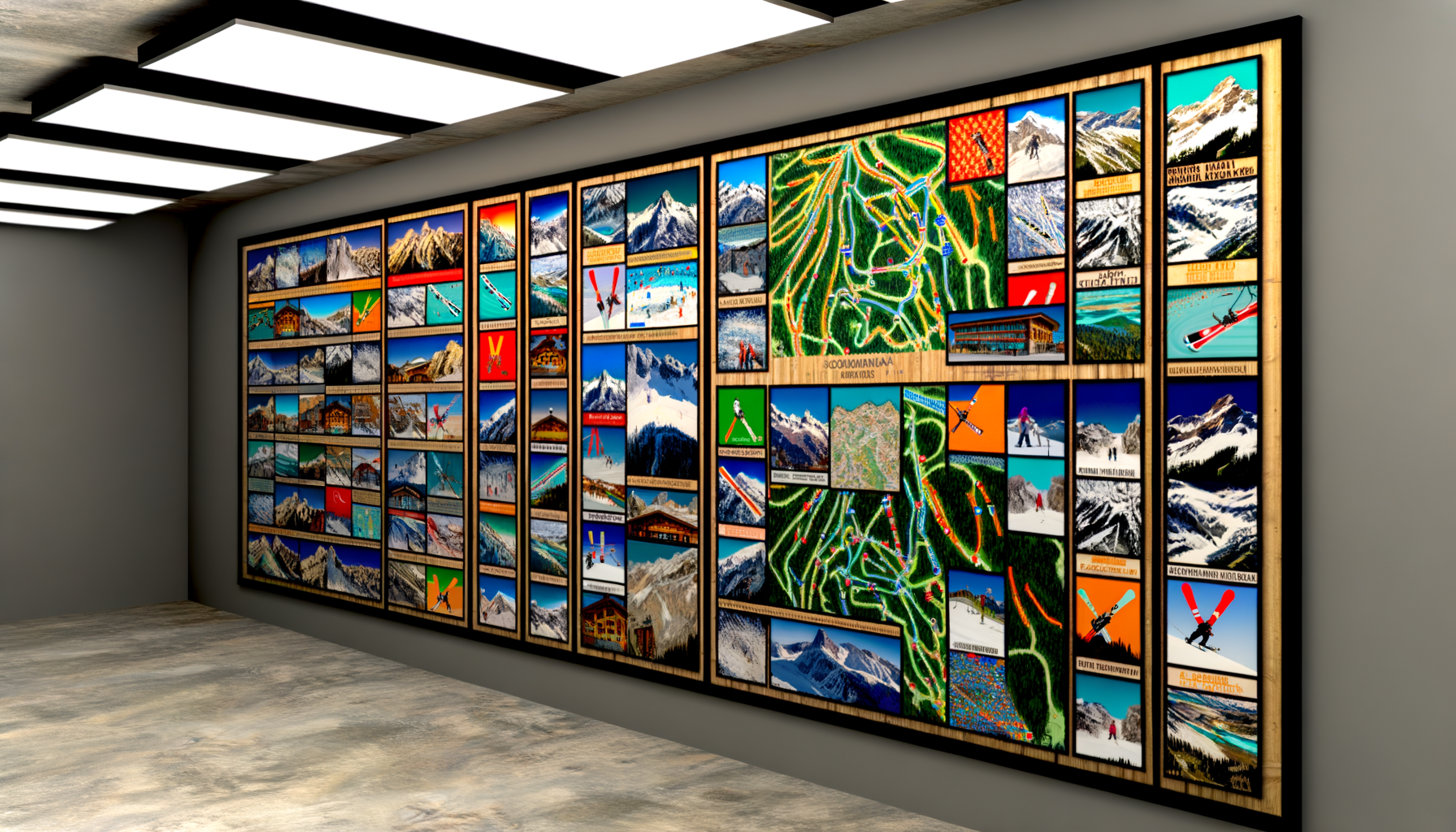
Mastering Iconic Ski Destinations: How TESTPLAY Maps Unlock Unforgettable Mountain Adventures
This is where the right tools become indispensable. Standard trail maps, while useful for basic navigation, often lack the detail needed for serious exploration, especially for those venturing beyond the groomed pistes. Understanding the subtle nuances of terrain, finding those legendary powder stashes, or simply planning a multi-area epic requires a deeper level of information and insight. Fortunately, there's a solution that elevates your mountain experience: TESTPLAY Maps. This post will explore the allure of these iconic ski destinations, highlight the inherent challenges they present, and demonstrate how TESTPLAY Maps provide the authoritative detail and navigation capabilities necessary to conquer them, ensuring every trip is an unforgettable adventure.
The Undeniable Allure of Iconic Ski Destinations
Certain ski resorts hold a special place in the pantheon of winter sports. They are places steeped in history, renowned for their immense scale, exceptional terrain, and often a unique blend of thrilling adventure and sophisticated mountain culture. Visiting these destinations isn't just about skiing; it's about experiencing the pinnacle of the sport in breathtaking natural environments.These resorts didn't become legendary by accident. They boast vast interconnected areas, challenging off-piste opportunities, reliable snow conditions, and infrastructure built to handle adventurous skiers. The names themselves evoke images of dramatic peaks, deep powder, and challenging descents that test skill and courage. Understanding what makes these places so magnetic helps appreciate the challenge and reward of exploring them fully.
European Legends: The Majesty of the Alps
The Alps are arguably the spiritual home of skiing, boasting centuries of history and a density of world-class resorts unmatched anywhere else. The terrain here is often characterized by dramatic vertical drops, extensive lift systems connecting multiple valleys, and a deep tradition of off-piste exploration. Navigating these vast, often complex areas requires more than just following signs; it demands a real understanding of the topography.Verbier, Switzerland: Off-Piste Paradise Found
Verbier, part of the Four Valleys ski area, is synonymous with challenging off-piste skiing and freeride culture. Its vast, ungroomed bowls, couloirs, and backcountry routes attract experts from around the globe. The sheer size of the area and the complexity of its unmarked terrain are both its greatest draw and its biggest navigational challenge.Exploring Verbier's famous itineraries like the Tortin or Mont Gelé requires not just skill on snow but also a keen awareness of the underlying topography and potential hazards. Finding the best lines, linking descents, and understanding access and exit points is crucial for a successful and safe day. Standard resort maps simply cannot convey the necessary detail for this kind of exploration.
Chamonix-Mont-Blanc, France: Where Extreme Meets Classic
Chamonix is a valley of extremes, dominated by the colossal Mont Blanc Massif. Renowned for its steep, glaciated terrain and legendary off-piste descents like the Vallée Blanche, Chamonix is a destination for serious mountaineers and expert skiers. It is less a traditional groomed resort and more a collection of distinct, challenging ski areas accessible from the valley floor.Navigating Chamonix involves understanding complex lift systems, glacial travel (on certain routes), and the severe natural environment. The rewards are unparalleled descents and breathtaking scenery, but the risks are significant if unprepared or misinformed about the terrain. Precise topographical information and an understanding of routes are paramount here.
North American Icons: Scale and Variety
Across the Atlantic, North America offers its own brand of iconic ski experience, often characterized by immense resort size, meticulously managed snow surfaces, and diverse terrain ranging from steep bowls to perfectly spaced tree skiing. While perhaps more structured than some Alpine areas, the sheer geographical scale presents unique challenges and opportunities for exploration.Aspen Snowmass, USA: Luxury, Culture, and Vast Terrain
Aspen Snowmass isn't just one resort, but four distinct mountains – Aspen Mountain, Aspen Highlands, Buttermilk, and Snowmass – covering over 5,500 acres with a single lift ticket. Snowmass itself is one of the largest ski areas in North America. This variety means endless exploration possibilities, from the legendary steeps of Aspen Highlands' Highland Bowl to the expansive cruising and tree skiing at Snowmass.Linking runs, finding hidden powder stashes in the trees, and navigating between the different mountains efficiently requires a solid understanding of the layout. With so much acreage, it's easy to spend days and still feel like you've only scratched the surface. A detailed map helps connect the dots and plan ambitious itineraries across multiple peaks.
Whistler Blackcomb, Canada: Immensity and Coastal Snow
Whistler Blackcomb is consistently ranked among the world's top resorts, primarily due to its staggering size (over 8,100 acres), high annual snowfall, and incredible variety of terrain. The PEAK 2 PEAK Gondola connects the two mountains, creating a truly massive skiable area with everything from gentle beginner slopes to vast alpine bowls and challenging backcountry access points.Exploring Whistler Blackcomb is an exercise in scale. Deciding where to go to find the best snow, avoid crowds, or tackle challenging zones like the Flute Bowl or Blackcomb Glacier requires more than just following the main trails. The interconnectedness and sheer size demand a map that provides context and detail beyond the standard overview.
Other Notable Regions
While the Alps and select North American resorts often dominate the conversation, iconic destinations exist worldwide. Japan's Niseko United, famous for its incredible powder, or South America's Portillo, with its unique high-alpine environment, also present their own challenges and rewards for adventurous skiers seeking detailed navigational tools. Each iconic location, regardless of continent, requires a level of terrain intelligence to be fully appreciated.The Challenge of Navigating and Maximizing Your Ski Trip
The grandeur of these iconic destinations comes with inherent complexities. Standard resort maps are designed primarily for lift access and marked trail navigation. While essential, they often lack the critical detail needed for experienced skiers looking to explore the full breadth of the mountain.Challenges include understanding off-piste terrain nuances, locating specific features like rock bands or ideal tree spacing, finding less-trafficked areas, and planning routes that make the most of conditions and lift operations. Safety is also a major consideration; knowing the topography precisely is vital when venturing into ungroomed or unpatrolled areas. Simply put, the standard tools don't provide the depth of information required for expert-level exploration and decision-making.
How TESTPLAY Maps Transform the Ski Experience
This is where TESTPLAY Maps provide a revolutionary advantage. They are not just trail maps; they are highly detailed topographical guides built specifically for the mountain environment. By offering an unprecedented level of accuracy and information, they empower skiers to navigate iconic resorts with confidence, discover more terrain, and enhance safety planning.TESTPLAY Maps bridge the gap between basic resort information and the detailed knowledge needed for truly unlocking a mountain's potential. They provide the context necessary to understand the terrain in three dimensions, helping skiers make informed decisions about routes, conditions, and potential hazards. This transforms the experience from simply following marked trails to intelligently exploring the entire mountain landscape.
Unprecedented Detail and Accuracy
The core strength of TESTPLAY Maps lies in their meticulous detail. Unlike simplified resort maps, they feature high-resolution topographical lines, accurately depicting slopes, valleys, and changes in elevation. They show micro-terrain features that influence snow accumulation and skiing lines, such as small rollovers, benches, and gully structures.This level of detail is crucial for identifying optimal lines, understanding terrain traps, and linking natural features into fluid descents. It's like having a highly detailed contour map overlayed directly onto your ski area, providing a level of geographical understanding previously only accessible through expert local knowledge or extensive personal exploration over many visits.
Navigating Vast Terrain with Confidence
Iconic resorts are often immense, with interconnected areas that can be disorienting without precise guidance. TESTPLAY Maps provide clear and accurate representations of the entire skiable area, including marked runs, lifts, and, critically, the surrounding ungroomed and backcountry terrain.Whether you are navigating a vast interconnected system like the Four Valleys or planning a sidecountry excursion from a North American resort boundary, TESTPLAY Maps offer the clarity needed to stay oriented. They help you understand distances, evaluate slopes, and plan complex routes across multiple lifts and distinct zones. This confidence allows for more adventurous exploration without the fear of getting lost in complex terrain.
Discovering Hidden Gems and Local Favorites
Every iconic resort has its secrets – those runs or areas known primarily to locals or those who have spent years exploring. These can be specific tree runs with ideal spacing, small powder stashes that hold snow longer, or viewpoints off the beaten path. Finding these requires more than just following the crowds.TESTPLAY Maps, with their detailed topography and often marked points of interest beyond just lifts and restaurants, can guide you to these less obvious spots. By understanding the underlying terrain, you can anticipate where snow will collect, identify potential lines between marked runs, and discover features that standard maps overlook. It's like having a knowledgeable guide in your pocket, revealing the mountain's hidden treasures.
Enhanced Safety Planning and Awareness
While no map can replace proper avalanche training, safety equipment, and sound decision-making, TESTPLAY Maps significantly enhance your ability to plan and navigate safely in complex terrain. Understanding the slope angle, aspect, and features like cornices, cliffs, or creek beds is vital for assessing risk.The detailed topography provided by TESTPLAY Maps gives you the information needed to evaluate potential risks before dropping into an area. You can identify potential exposure, plan routes that avoid hazards, and have a much clearer picture of the terrain beneath the snow surface. This geographical intelligence is a crucial component of responsible off-piste and sidecountry travel planning.
Planning Your Perfect Day
Maximizing your time at an iconic resort requires smart planning. Where should you start based on snow conditions? Which lifts access the terrain you want to ski? How can you link different areas efficiently? TESTPLAY Maps allow you to visualize your day and plan routes with precision.You can study the map the night before, identifying target areas, potential routes, and escape options. During the day, you can adjust your plan on the fly based on conditions, using the map to find the quickest way to fresh snow or a challenging descent. This strategic planning, enabled by detailed mapping, ensures you make the most of every precious moment on the mountain.
TESTPLAY Maps in Action: Case Studies
Let's revisit some of the iconic destinations discussed earlier and see how TESTPLAY Maps specifically apply their benefits to the unique challenges of each. Understanding these real-world applications highlights the practical value of this detailed mapping technology.Mastering Verbier's Off-Piste with TESTPLAY
In Verbier, the legend is the off-piste. Standard maps show 'itineraries', which are marked but ungroomed routes, but the real exploration happens between them or in the surrounding areas. TESTPLAY Maps show the detailed contours of Verbier's vast bowls like the backside of Mont Fort or the slopes below Chassoure.This detail allows skiers to identify specific features like small cliffs to avoid, ideal fall lines, and subtle transitions in slope angle. Planning a descent from the top of Mont Gelé becomes much more informed when you can precisely see the steepness and underlying rock formations on the map. Navigating back towards lifts or known points from expansive areas like the Col des Gentianes is simplified with accurate topography and GPS tracking on a detailed map.
Exploring Whistler's Back Bowls Safely
Whistler Blackcomb's alpine bowls are immense and offer incredible powder skiing after a storm. Areas like the Symphony Amphitheatre or Glacier Bowl are vast and can be prone to flat light or changing conditions. While within the resort boundary, they offer a backcountry-like feel.TESTPLAY Maps provide the necessary detail to navigate these expansive bowls confidently. You can clearly see the contours to avoid flatter sections, identify entrances and exits, and understand the relationship between different parts of the bowl. For those venturing into readily accessible sidecountry from the resort, the detailed topography outside the boundary lines becomes indispensable for planning safe routes and understanding the terrain ahead.
Finding Chamonix's Best Lines
Chamonix's reputation is built on challenging, often committing lines. For descents like sections of the Vallée Blanche or routes off the Grands Montets, understanding glacial features, crevasses (where marked on appropriate maps), and complex rock formations is paramount. While TESTPLAY maps may not mark individual, constantly changing crevasses (always requiring a guide on glaciated terrain), they provide the underlying geographical context that guides do use for planning.For non-glaciated off-piste, like the challenging descents from the Flégère or Le Tour areas, TESTPLAY's detailed contours reveal the micro-terrain. This helps skiers identify ideal starting points, navigate through complicated sections, and link turns down steep, featured slopes with greater precision. The map becomes a crucial planning tool for understanding the commitment and nature of these world-famous, demanding descents.
Beyond the Pistes: What Else TESTPLAY Maps Offer
TESTPLAY Maps offer more than just detailed topography for off-piste navigation. They integrate crucial information relevant to any serious skier exploring an iconic resort.This often includes accurately marked lift lines and types, indicating uphill travel options clearly. Important points of interest like mountain restaurants, first aid stations, and key viewpoints are typically marked, helping with planning rest stops or meeting points. Furthermore, many TESTPLAY maps integrate piste data, showing marked runs and their difficulty ratings, allowing for seamless transitions between groomed and ungroomed terrain.
Here are some key features often found: 1. High-resolution contour lines showing elevation changes and slope steepness.
2. Detailed representation of terrain features like gullies, ridges, and rock formations.
3. Accurate mapping of lift infrastructure and access points.
4. Marking of key points of interest within the ski area.
5. Potential integration with GPS for real-time location tracking on the detailed map.
These combined features make TESTPLAY Maps a comprehensive tool for navigating the entirety of an iconic mountain, not just its marked trails.
Why TESTPLAY Maps are Essential for the Serious Skier
For those who view skiing not just as a pastime but as a passion, and who are drawn to the challenge and beauty of the world's most iconic mountains, TESTPLAY Maps are not just an accessory; they are an essential piece of equipment. They provide the geographical intelligence needed to move beyond basic trail following and truly engage with the mountain environment.The confidence gained from understanding the terrain in detail allows for more adventurous and fulfilling exploration. The ability to identify and navigate to hidden gems elevates the experience beyond crowded main runs. The enhanced planning capabilities lead to more efficient and enjoyable days on the snow. And critically, the detailed topographical information supports better safety planning and decision-making in challenging areas.
Visiting an iconic ski destination is an investment in an experience. To maximize that investment and unlock the full potential of the mountain, having the best possible navigational tools is paramount. TESTPLAY Maps provide that edge, turning a great ski trip into an unforgettable mountain adventure.
Conclusion
Iconic ski destinations around the world beckon with their legendary terrain and breathtaking beauty. While their scale and complexity can present challenges, the rewards of exploring them fully are immense. From the steep couloirs of Chamonix and the vast bowls of Verbier to the sprawling acres of Snowmass and Whistler Blackcomb, these mountains demand respect and require informed navigation.Standard maps offer a starting point, but for serious skiers seeking to explore off-piste, discover hidden terrain, and plan their adventures with confidence and enhanced safety awareness, TESTPLAY Maps provide the essential, detailed topographical information needed. By offering unprecedented accuracy and insight into the mountain's geography, TESTPLAY Maps empower you to unlock the true potential of these legendary locations. Make the most of your next trip to an iconic ski destination – equip yourself with the ultimate navigational tool and experience the mountain like never before.